
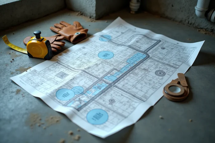
You are preparing an extension, a connection, or a real estate sale, and you are asked for the exact layout of the wastewater pipes under your land. The usual reflex is to call the town hall, but the response varies greatly from one municipality to another. What is commonly referred to as the “sewer plan” is not a single document: several types of plans coexist, and knowing which one to request makes all the difference.
Zoning, as-built plans, GIS layers: which sanitation network plan to request
When looking for a sewer network plan, you actually come across several distinct documents that do not meet the same need.
Recommended read : How to Easily Dismantle the Headlight of Your Peugeot 2008: Practical Guide and Tips
The sanitation zoning delineates the sectors connected to the collective network and those subject to individual sanitation. It does not show the precise layout of the pipes under your plot, but it confirms whether your house is supposed to be connected.
The as-built plan, on the other hand, represents the actual layout of the pipes as it was installed after construction. This document is often kept by the builder or the earthworks company, and sometimes passed on to the community. It is the most accurate plan for locating the exact path of a pipe.
Related reading : How to Choose the Ideal Tulle to Enhance Your Wedding Dress?
Some intermunicipalities also publish GIS (geographic information system) layers on their open data portal. Angers Loire Métropole, for example, provides a georeferenced cartographic background of the collection network, which allows you to identify the nearest collector and estimate the distance between the property line and the connection point.
Finally, the excerpt from the site plan of the building permit or sales files may contain a rough layout. To locate the sewer network plan for the house, it is helpful to first identify the document suited to your situation: pre-sale diagnosis, network extension, or simple domestic identification.

Requesting a sanitation plan at the town hall: what the right to access says
Many property owners believe that the provision of plans depends on the goodwill of the municipal technical service. In practice, sanitation network plans are administrative documents that can be accessed under the Code of Relations between the Public and the Administration (CRPA). Anyone can request to consult or obtain a copy.
The most direct approach is to send a written request to the sanitation service of the relevant town hall or intermunicipality. You should specify the address of the property, the cadastral reference if possible, and the reason for the request (work, sale, compliance check).
When the town hall does not have the plan
Some municipalities, particularly smaller ones, have not digitized their networks. Responses vary on this point: some services respond within a few days, while others direct you to the intermunicipal union or the archives of the original developer.
If the community refuses or delays, the Commission for Access to Administrative Documents (CADA) can be contacted. This recourse is rare, but simply mentioning it in a follow-up letter often speeds up the response.
- Prepare the cadastral reference and the exact address of the property before making any request.
- Identify whether the sanitation responsibility lies with the municipality or the intermunicipality (EPCI).
- Explicitly request the type of plan desired: zoning, as-built, or GIS excerpt.
- In case of refusal, remind them of the right to access administrative documents provided by the CRPA.
Open data portals and online tools to locate pipes
Before going to the town hall, a visit to digital tools may suffice for a preliminary identification. Several communities now offer freely accessible cartographic data.
The cadastre portal (cadastre.gouv.fr) displays parcel boundaries, which helps to locate the property in relation to the public road. Additionally, the open data portals of metropolitan areas or sanitation unions sometimes publish the layout of collection networks in the form of downloadable cartographic layers.
Checking if your community publishes its network data in open data is the first reflex to have. The presence or absence of this data determines whether you can proceed on your own or if you need to consult a professional.
Limitations of digital data
Public GIS layers show the main network (collectors, manholes), rarely the individual connections between the property line and the house. For the exact layout on private land, the builder’s as-built plan or a site diagnosis is still necessary.
Site diagnosis and video inspection: when to call a professional
When the archives are silent and online portals are incomplete, the on-site solution remains. A sanitation professional can perform a camera inspection of the pipes to map the existing network under the plot.
This intervention involves inserting an endoscopic camera into the manholes or wastewater outlets of the house. The operator traces the layout of the pipes, identifies connections, slopes, and any anomalies (back slopes, blockages, non-compliant connections).
This method is used in several concrete cases:
- Old house with no available pipe plan, neither at the town hall nor with the notary.
- Before a sale, to produce a compliance diagnosis of the connection to the collective network.
- Before extension work, to avoid drilling into a buried pipe.
- After a purchase, when the sales deed mentions a connection to the sewer but no inspection certificate has been issued.
The professional produces a report with a scaled plan of the network he has identified. This document can then serve as a basis for any permit application or for the compliance file with the public sanitation service.
A camera diagnosis provides the actual layout of the pipes, where archive plans sometimes show a theoretical layout that no longer corresponds to the reality of the land, especially after successive renovations.
The layout of wastewater pipes never appears in a single document. Between municipal zoning, the builder’s as-built plan, GIS portals, and video inspection, each source provides a piece of the puzzle. Starting by identifying the right contact (town hall, intermunicipality, original builder) and the right type of plan remains the most reliable method to avoid administrative back and forth.